


غرفة A1، 11/F مبنى الفائز، 36 شارع مان يو، هونغ هوم، كولون، هونغ كونغ
هاتف:
0086-13828734698
البريد الإلكتروني:
elaine@industrial-gradedrone.com
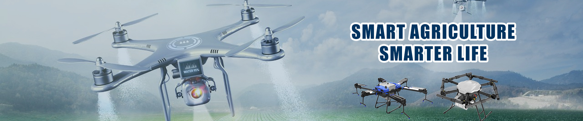
مجموعة هونغ كونغ العالمية للتكنولوجيا الذكية لديها خبرة صناعية غنية وقوة فنية مهنية في مجال تصنيع الطائرات بدون طيار.وحصلت على العديد من براءات الاختراع والشهاداتالشركة تلتزم بـ "طلب السوق كدليل ، رضا العملاء كغرض ، تعاون مربح كقاعدة ، خدمة الجودة كضمان ،والمسؤولية الاجتماعية" وقد أقامت علاقات تعاونية مستقرة مع أكثر من 170 دولة حول العالم لمساعدتهم على تحقيق أهداف الأعمال.
سياسة الخصوصية |
خريطة الموقع |
الصين جيدة
الجودة طائرة بدون طيار من الدرجة الصناعية المورد. حقوق النشر © 2023-2025 industrial-gradedrone.com . كل شيء
حقوق محجوزة